For centuries, boundary disputes have been a persistent source of conflict, leading to strained relationships, costly legal battles, and unresolved disagreements. Traditional methods of boundary determination, relying on outdated maps, land surveys, and witness testimonies, have often proved inadequate in resolving these disputes, leaving parties frustrated and embroiled in protracted conflicts.
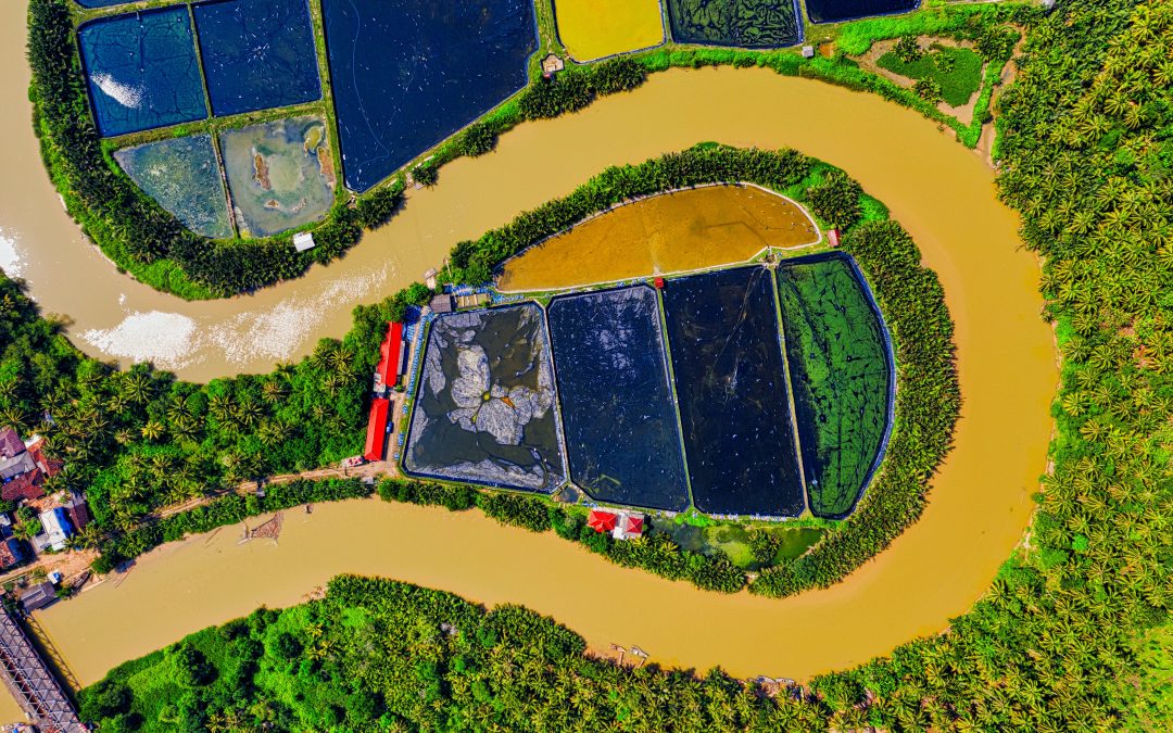
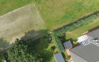
However, the advent of aerial photography has revolutionised the way boundary disputes are resolved, offering a streamlined, cost-effective, and efficient alternative to traditional methods. By capturing high-resolution images of properties and their surroundings from an elevated vantage point, aerial photography provides a comprehensive and objective view of the disputed land, reducing the need for time-consuming and potentially contentious ground-level surveys.
Eliminating the Need for Extensive Ground Surveys
Ground-level surveys, the cornerstone of traditional boundary determination, have long been plagued by inefficiencies and potential errors. These surveys, often conducted manually, require surveyors to navigate dense vegetation, traverse difficult terrain, and interpret ambiguous markings, leading to delays and discrepancies in boundary identification.
Aerial photography, on the other hand, eliminates the need for extensive ground-level surveys, providing a rapid and comprehensive overview of the disputed land from a bird’s-eye view. Surveyors can analyse aerial images to identify key boundary markers, vegetation patterns, and man-made structures, significantly reducing the need for time-consuming field work.
Reducing Costs and Expediting Resolution
Traditional boundary dispute resolution processes, often involving multiple rounds of ground surveys, witness testimonies, and legal proceedings, can be costly and protracted, leaving parties financially burdened and emotionally drained. Aerial photography, by streamlining the boundary determination process, significantly reduces the time and costs associated with resolving disputes.
With aerial imagery, surveyors can quickly identify and clarify boundary lines, eliminating the need for repeated ground surveys and minimising the risk of errors. This efficiency translates into cost savings for both parties involved in the dispute, reducing the overall financial burden of resolving the conflict.
Enhancing Accuracy and Minimising Disputes
Aerial photography provides a neutral and objective perspective on boundary lines, eliminating the potential for biases and inconsistencies that can arise from ground-level surveys. By capturing a comprehensive view of the disputed land and its surroundings, aerial imagery reduces the likelihood of errors and misinterpretations, leading to a more accurate and definitive determination of property lines.
Moreover, aerial photography can provide historical context for boundary disputes, allowing surveyors to trace changes in land use and development over time. This historical perspective can be invaluable in resolving disputes that involve conflicting claims based on past land ownership or usage patterns.
Transforming Boundary Dispute Resolution
Aerial photography has emerged as a transformative tool in boundary dispute resolution, streamlining the process, reducing costs, and enhancing accuracy. By providing a comprehensive and objective view of the disputed land, aerial imagery eliminates the need for time-consuming and potentially contentious ground-level surveys.
As aerial technology continues to advance, its role in resolving boundary disputes is only expected to grow, paving the way for more efficient, cost-effective, and amicable solutions to these long-standing conflicts. Aerial photography has truly revolutionised boundary dispute resolution, offering a clear path to resolution from a bird’s-eye view.
Recent News & Articles
How Much Can Boundary Disputes Cost?
A boundary dispute is a disagreement between property owners or occupiers about the location of the boundary that separates their properties. Boundary disputes can arise for a number of reasons, including: Changes in property ownership: When a property is sold, the...
The Future of Boundary Dispute Resolution: Aerial Photography Leads the Way
For centuries, boundary disputes have been a persistent source of contention among property owners, often leading to strained relationships, costly legal battles, and unresolved disagreements. However, the rapid advancements in aerial photography technology are...
From Conflict to Conciliation: Aerial Photography Resolves Boundary Disputes in the UK
Boundary disputes, a persistent source of contention among property owners, have long plagued the UK landscape, leading to strained relationships, costly legal battles, and unresolved disagreements. With an estimated 6 million boundary disputes arising each year, the...


