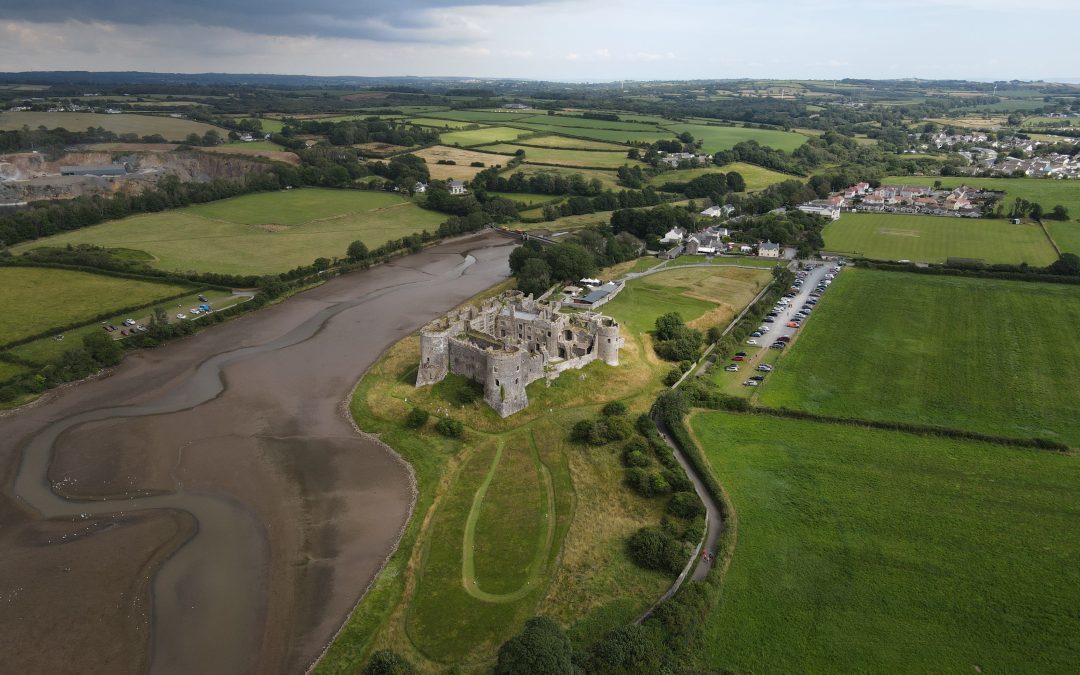
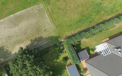
For centuries, property boundaries have evolved alongside human settlements, shaped by land acquisitions, divisions, and changing patterns of land use. Tracing these changes through time has often been a challenge, relying on fragmented records and fading memories. However, the advent of aerial photography has revolutionised our ability to delve into the past, providing a unique window into the historical development of property boundaries.
A Frozen Landscape in Time
Early aerial photographs, dating back to the late 19th and early 20th centuries, offer a snapshot of landscapes frozen in time, capturing details that may have been altered or obscured by subsequent development. These historical images serve as invaluable archives, providing researchers with a rich source of evidence for tracing boundary changes over time.
By comparing aerial photographs from different periods, experts can detect subtle shifts in land use patterns, the emergence or disappearance of man-made structures, and alterations in vegetation cover. These changes, often imperceptible to the naked eye, can reveal the evolution of property boundaries with remarkable precision.
A Glimpse into Land Ownership and Usage
Aerial photography not only sheds light on the physical evolution of boundaries but also provides insights into historical land ownership and usage patterns. By observing the arrangement of fields, roads, and structures within a landscape, researchers can infer past agricultural practices, industrial activities, and residential patterns.
These insights can be particularly valuable in understanding the social and economic forces that shaped the development of property boundaries. For instance, the expansion of farmland or the establishment of industrial zones may have led to the creation of new boundaries, while demographic shifts and changes in land ownership may have prompted boundary alterations.
A Tool for Resolving Disputes and Preserving Heritage
Historical aerial photography has emerged as a powerful tool for resolving property disputes that involve conflicting claims based on past land ownership or usage patterns. By providing a visual representation of property boundaries at different points in time, aerial imagery can help to clarify historical land ownership and usage patterns, providing crucial evidence for determining the true boundaries of a property.
Furthermore, historical aerial photography plays a vital role in preserving cultural heritage. By capturing the evolution of landscapes over time, these images provide a record of human interaction with the environment, documenting the transformation of rural and urban landscapes, and preserving the memory of lost or endangered cultural features.
A Journey through Time
Aerial photography has transformed our understanding of the past, providing a unique perspective on the evolution of property boundaries and the historical development of landscapes. By unlocking the archives of historical aerial photography, we embark on a journey through time, tracing the footsteps of human settlements, unraveling the complexities of land ownership, and preserving the rich heritage of our changing landscapes.
Recent News & Articles
How Much Can Boundary Disputes Cost?
A boundary dispute is a disagreement between property owners or occupiers about the location of the boundary that separates their properties. Boundary disputes can arise for a number of reasons, including: Changes in property ownership: When a property is sold, the...
The Future of Boundary Dispute Resolution: Aerial Photography Leads the Way
For centuries, boundary disputes have been a persistent source of contention among property owners, often leading to strained relationships, costly legal battles, and unresolved disagreements. However, the rapid advancements in aerial photography technology are...
From Conflict to Conciliation: Aerial Photography Resolves Boundary Disputes in the UK
Boundary disputes, a persistent source of contention among property owners, have long plagued the UK landscape, leading to strained relationships, costly legal battles, and unresolved disagreements. With an estimated 6 million boundary disputes arising each year, the...


